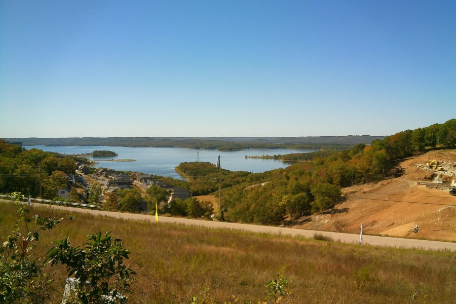
The Ozarks aren’t tall mountains, but they are steep, deeply cut hills — and that makes for roads that climb, drop and twist far more than first-time visitors expect. With a little preparation, any RV can handle the region’s main highways. The key is knowing which routes to avoid with a big rig and how to manage long downhill grades.
Know the road types
- Interstates and four-lane highways: I-44, I-49, US-65 (between Springfield and Branson) and parts of US-60 and US-412 are the easiest corridors.
- Two-lane U.S. and state highways: most travel happens here. Expect hills, curves, few passing lanes and narrow shoulders.
- Lettered county roads (Missouri): Missouri’s “Route A,” “Route BB” and similar roads are often narrow and steep. Use them only when your campground directions require it.
- Gravel roads: common to river accesses and some campgrounds. Slow down and watch for washboard and loose rock.
Routes to treat with caution
These are all open to RVs and many big rigs drive them, but they deserve extra care — or a tow-vehicle day trip instead:
- Highways 43, 74 and 21 around Ponca, Arkansas: long, steep grades into the upper Buffalo River valley.
- Arkansas Scenic 7 Byway near Jasper: beautiful, with long climbs and descents and sharp curves.
- The Pig Trail (Highway 23) south of Eureka Springs: tight curves and grades — best enjoyed in a car.
- Downtown Eureka Springs: narrow, steep streets with parked cars; park outside town.
- 76 Country Boulevard in Branson at show times: not dangerous, just slow. Use Highway 465 and Branson’s color-coded routes.
Managing grades and curves
- Downshift before starting a descent and let the engine or exhaust brake do the work. Use tow/haul mode if your vehicle has it.
- Brake firmly and briefly rather than riding the brakes; overheated brakes lose stopping power.
- Slow down before curves, not in them, and watch for posted advisory speeds.
- Use pull-offs to let traffic pass — locals appreciate it, and it lowers your stress too.
- Check trailer brake gain and tire pressures before you head into the hills.
Low-water crossings and flooding
Many Ozark roads cross creeks on low-water bridges that flood quickly after heavy rain. Never drive into water over a road — it only takes a little moving water to push a vehicle off a crossing. Follow the familiar rule: turn around, don’t drown.
GPS, cell service and fuel
- Use an RV-specific GPS or app that accounts for your height, length and weight. Consumer navigation apps sometimes route onto narrow lettered roads.
- Download offline maps; coverage disappears in river valleys.
- Fuel up in larger towns — Springfield, Branson, Harrison, Mountain Home, West Plains — before heading into remote areas.
Arriving at campgrounds
Older Corps of Engineers and state park loops were designed for smaller RVs. Check the maximum length for each specific site, note whether it’s back-in or pull-through, and look for overhanging branches in photos. Arrive in daylight whenever possible.
FAQ
Are Ozark roads safe for big RVs?
Yes, the main highways are routinely driven by large motorhomes and fifth wheels. Take it slow on grades and curves, avoid the steepest scenic byways with long rigs and plan routes in advance.
What is the easiest way to drive to Branson in an RV?
Take I-44 to Springfield and then US-65 south to Branson. It’s a four-lane highway most of the way.
Always confirm hookups, rates and seasonal closures with each campground. Some links may be affiliate links — see our disclosure.